
Aerial & Drone Photography
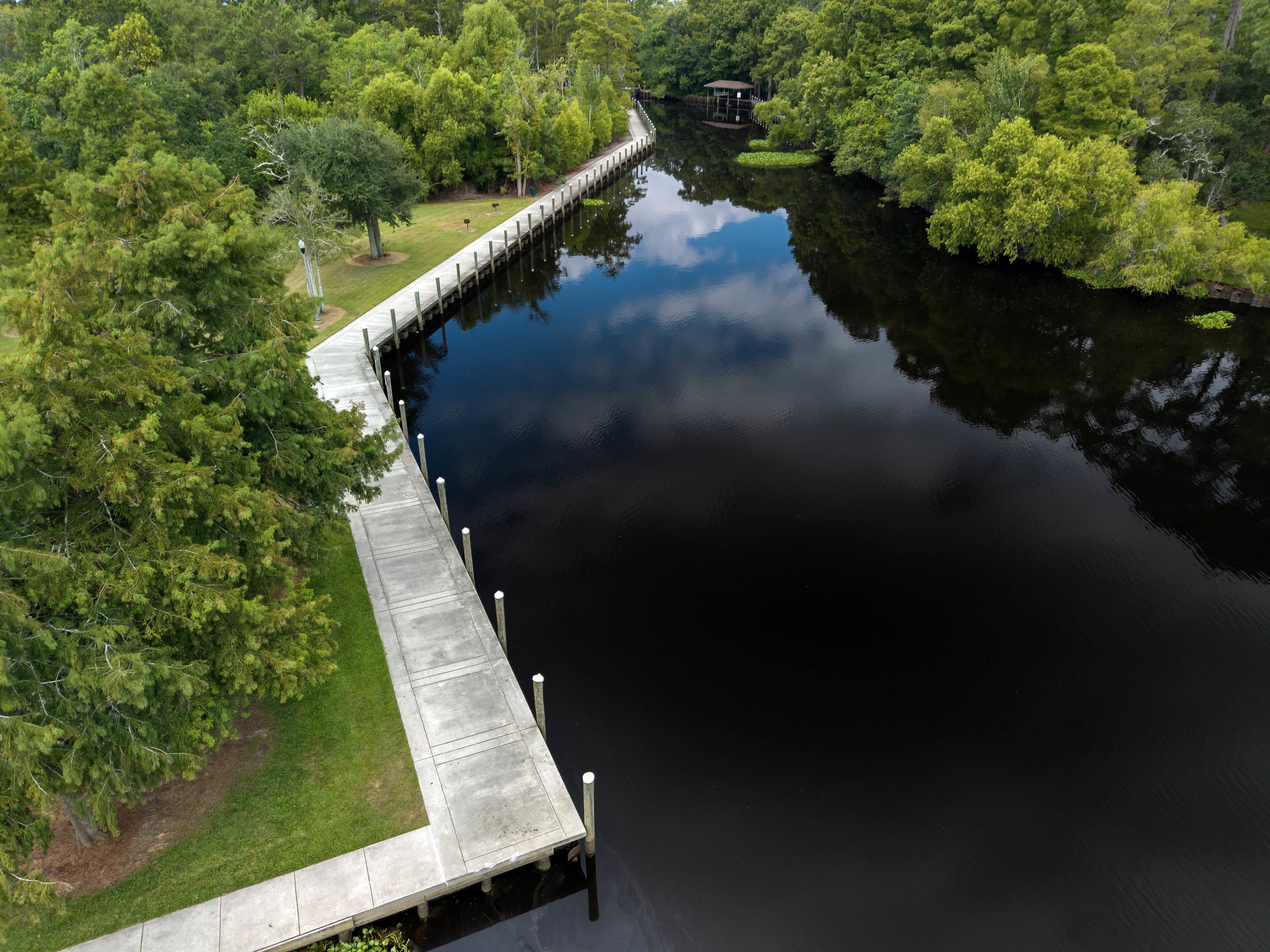
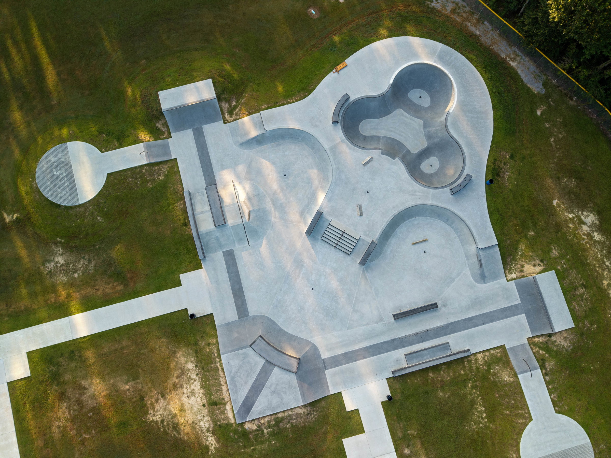
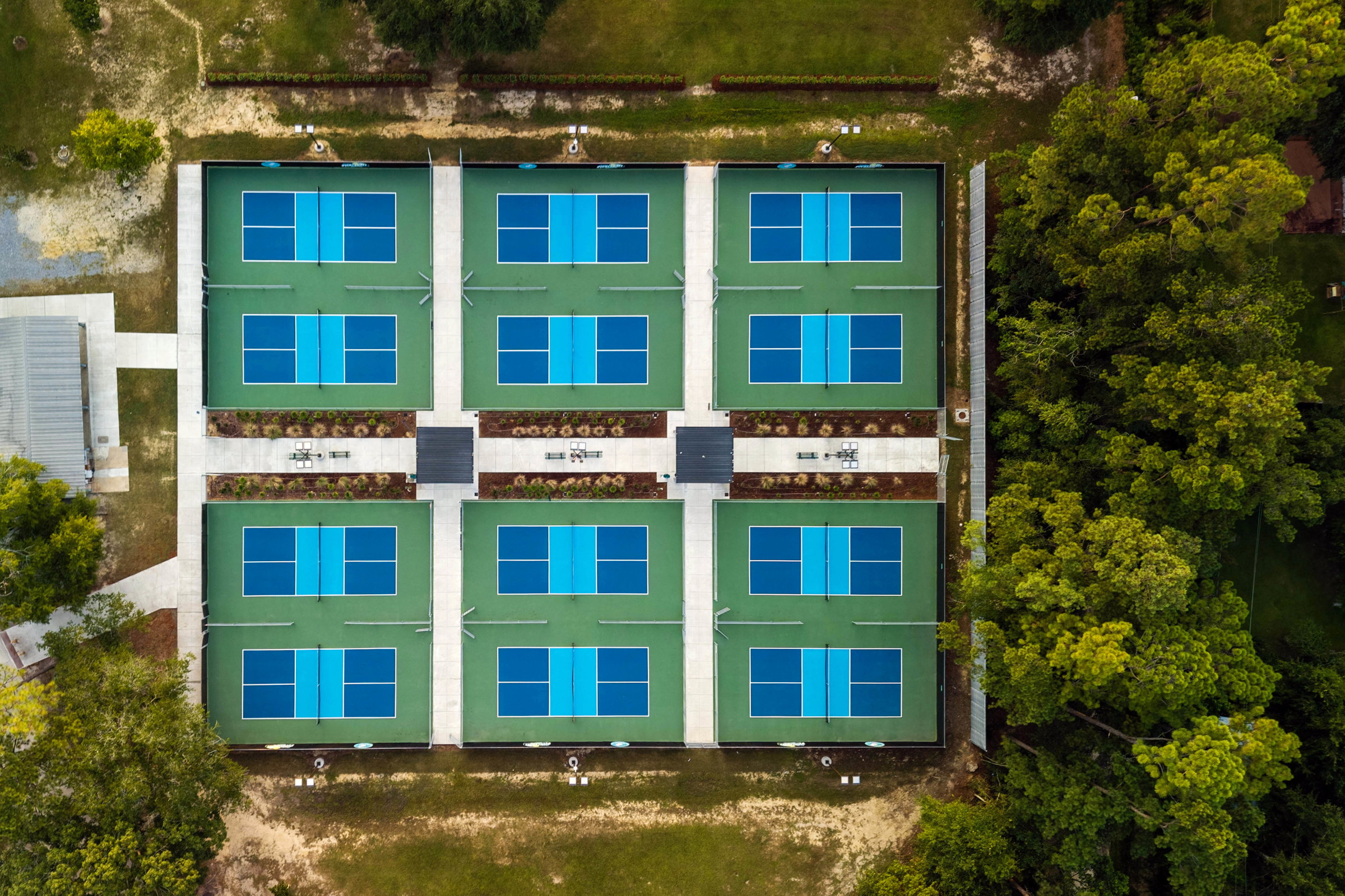
FAA Part 107 Certified Drone Photography & Video for Real Estate and Commercial Properties
Looking for a professional drone photographer for your next real estate listing or commercial project? pompo.media provides FAA Part 107 certified drone photography and aerial video services for real estate agents, realtors, brokers, brokerages, commercial developers, home builders, property managers, architects, construction companies, hotels, and businesses throughout Slidell, Mandeville, Covington, New Orleans, the Northshore, and the Mississippi Gulf Coast.
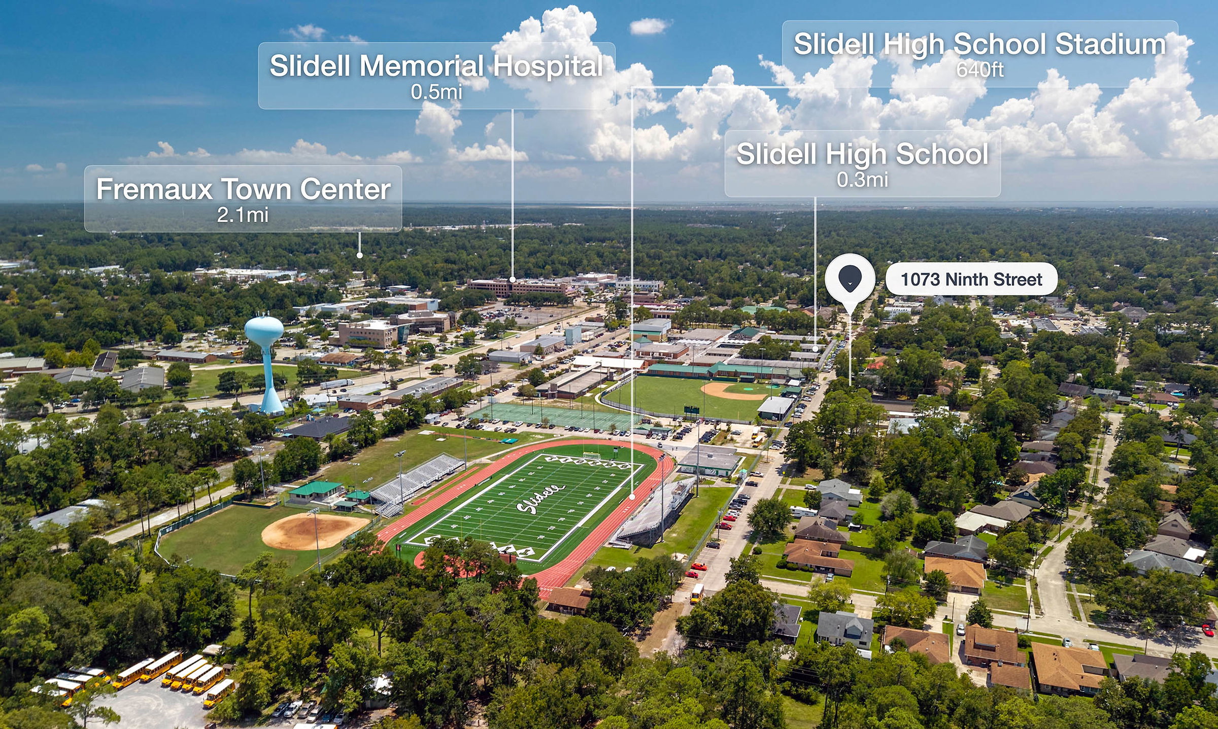
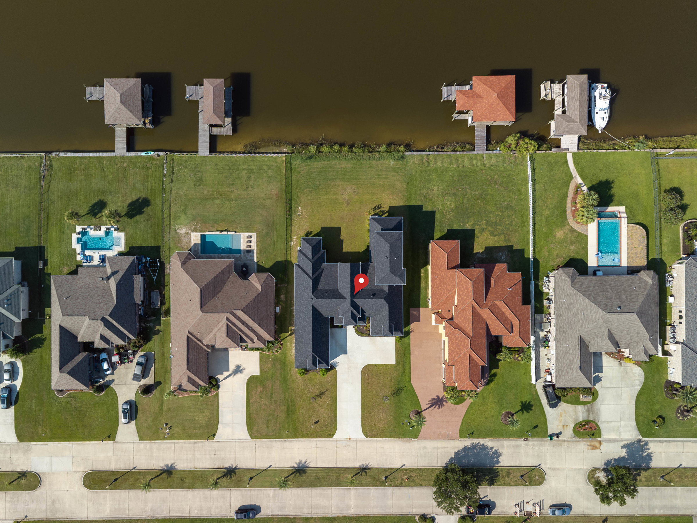
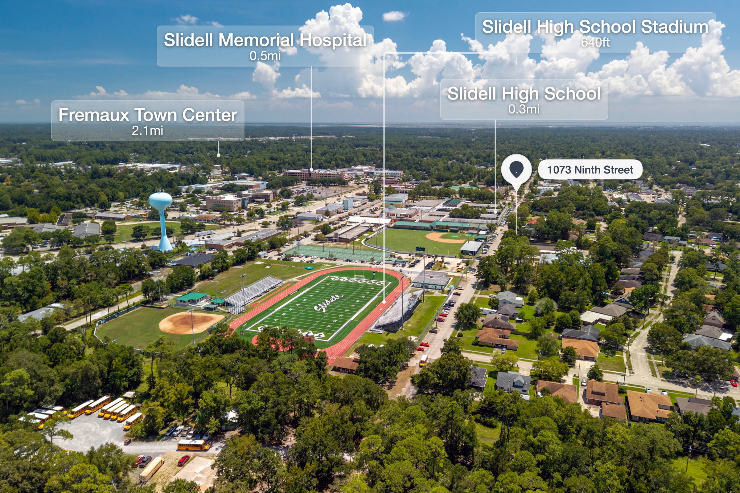
Enhanced Aerial Photos with Property Lines & Nearby POIs
Give buyers a better understanding of the property and its surroundings featuring
property boundary / land lines clearly outlined, points of interest (POIs) identifying nearby attractions, amenities, schools, parks, shopping, restaurants, and surrounding area. Perfect for large properties, land listings, luxury homes, farms, estates, and new construction where location and surrounding amenities are important selling points.
Drone Services
At pompo.media, we provide professional drone services tailored to the needs of real estate, commercial, and industrial clients. From stunning aerial imagery to inspections and project documentation, we deliver high-quality results from above.
Real Estate Aerial Imagery
Elevate your listings with stunning aerial photos and video. Showcase property layouts, features, and surrounding areas in detail. We can also add property lines, labels, and points of interest (POIs) to highlight important features and give potential buyers a better understanding of the property.
Building Inspections
Capture detailed aerial imagery for building and roof inspections, safety assessments, construction progress, and maintenance evaluations, efficiently and safely.
Commercial & Industrial Services
Support your projects with drone photography, video, and progress monitoring. Ideal for planning, documentation, inspections, and tracking project development.
At pompo.media, we combine professional aerial photography with advanced drone technology to provide clear, compelling aerial imagery tailored to your project.
Why should I use drone photography for my real estate listing?
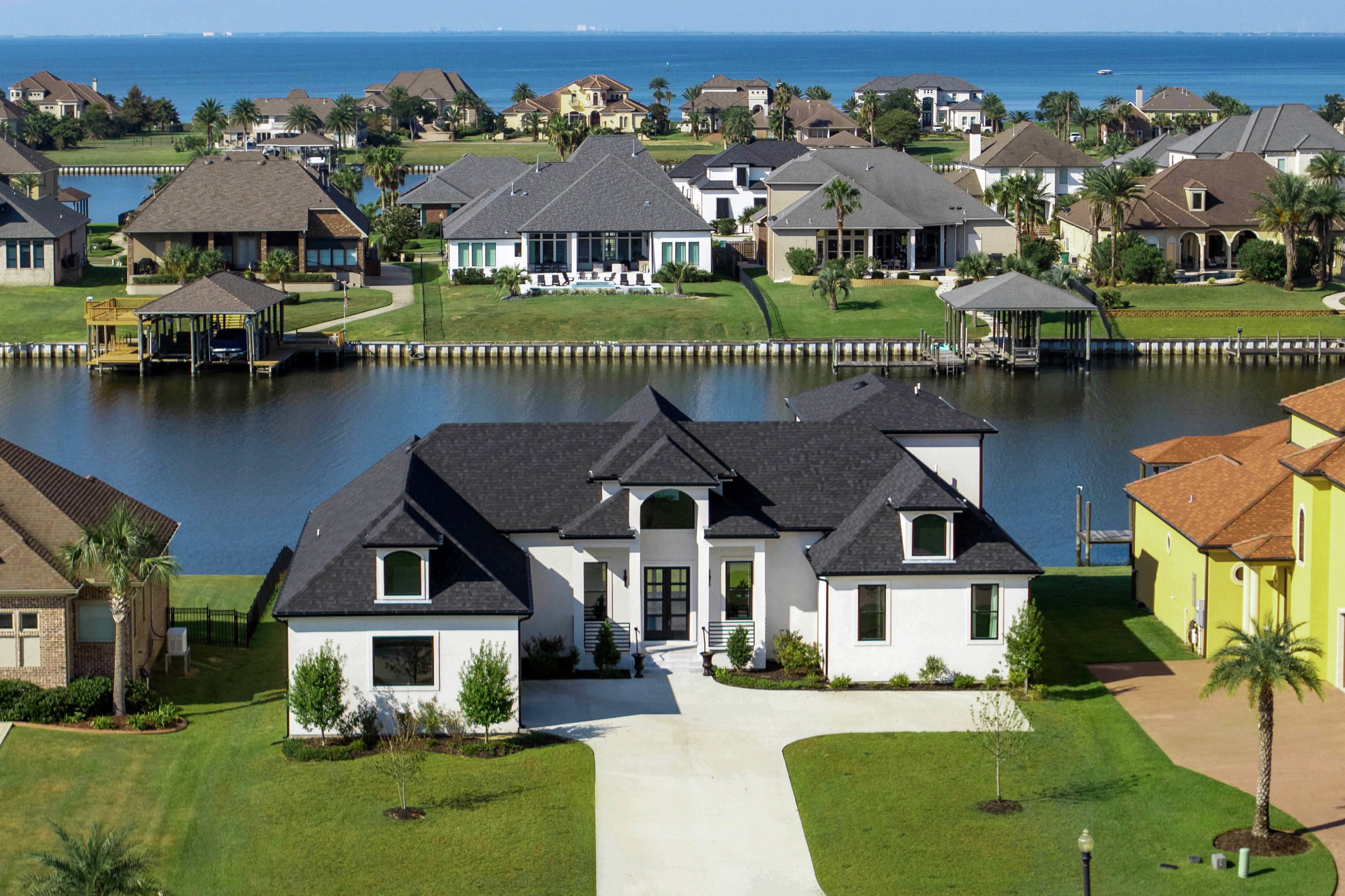
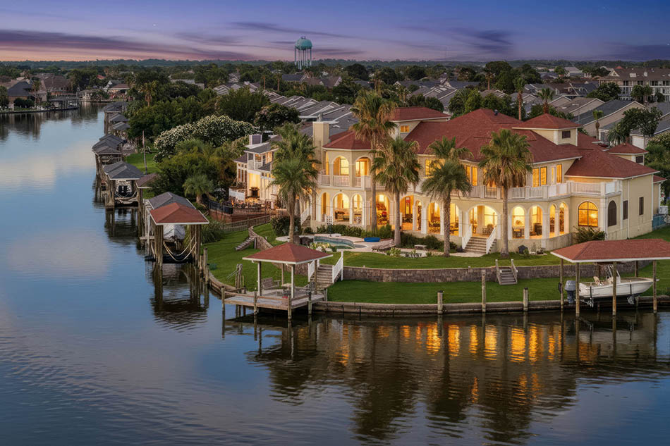
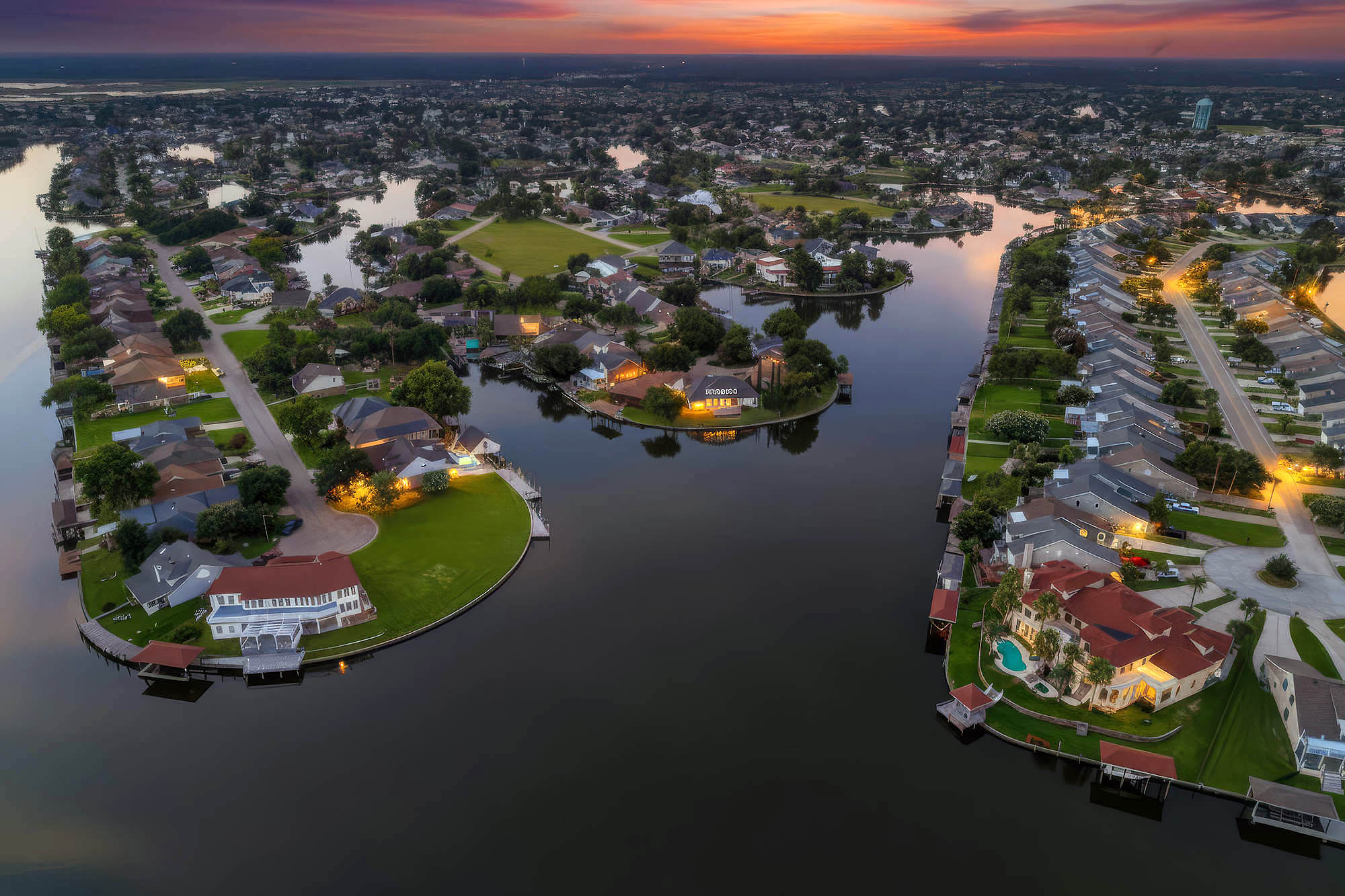
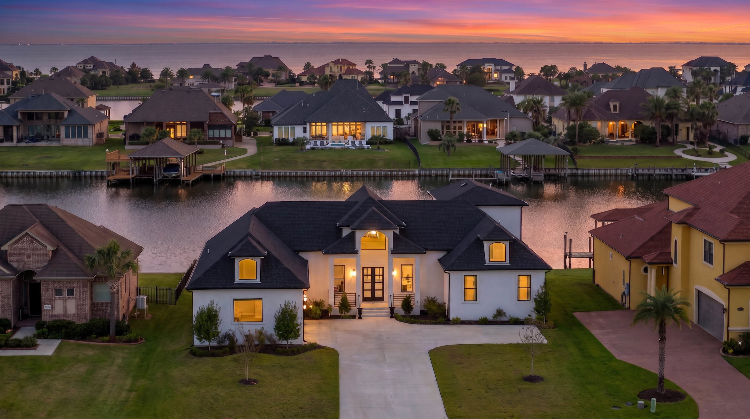
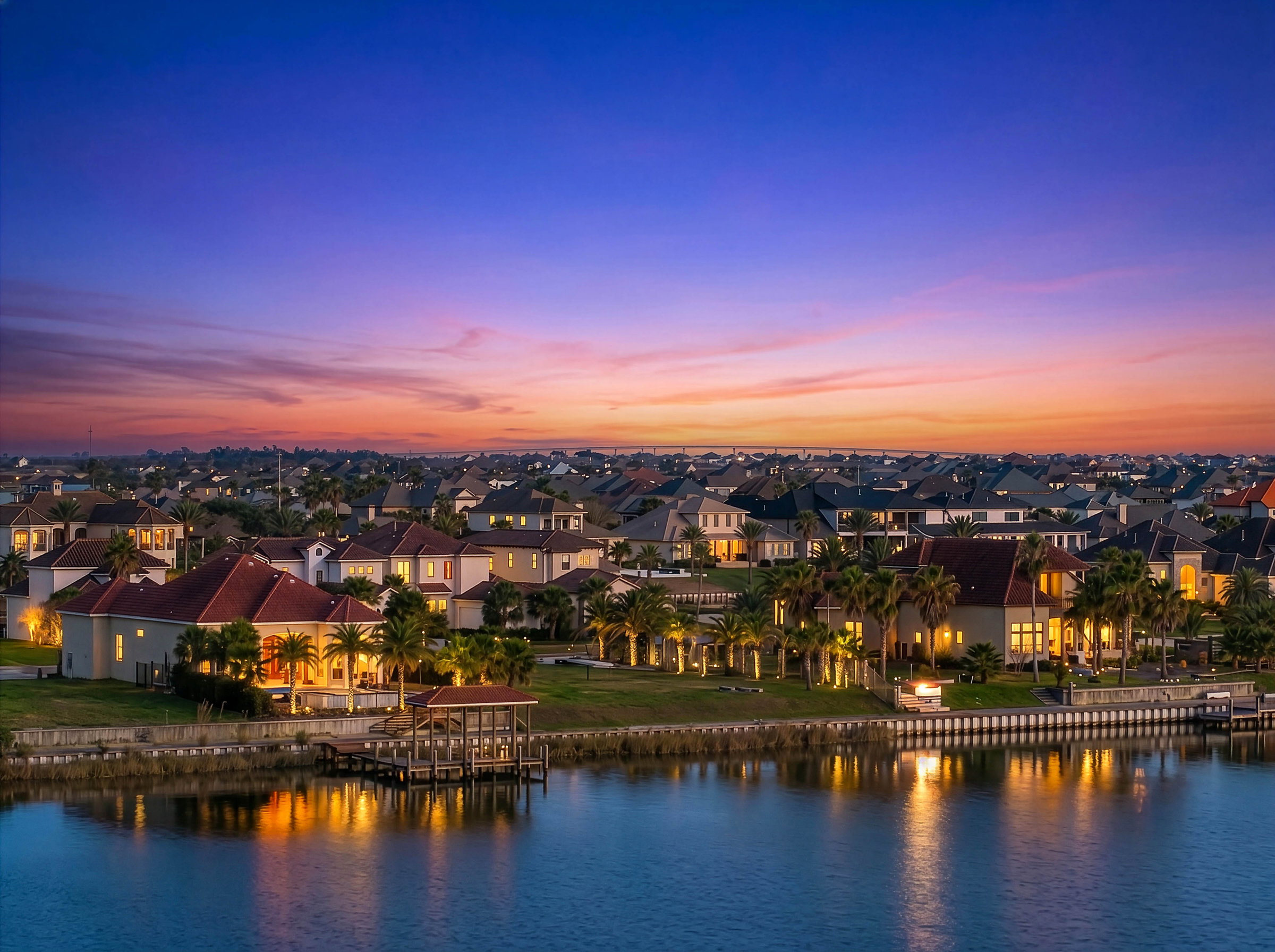
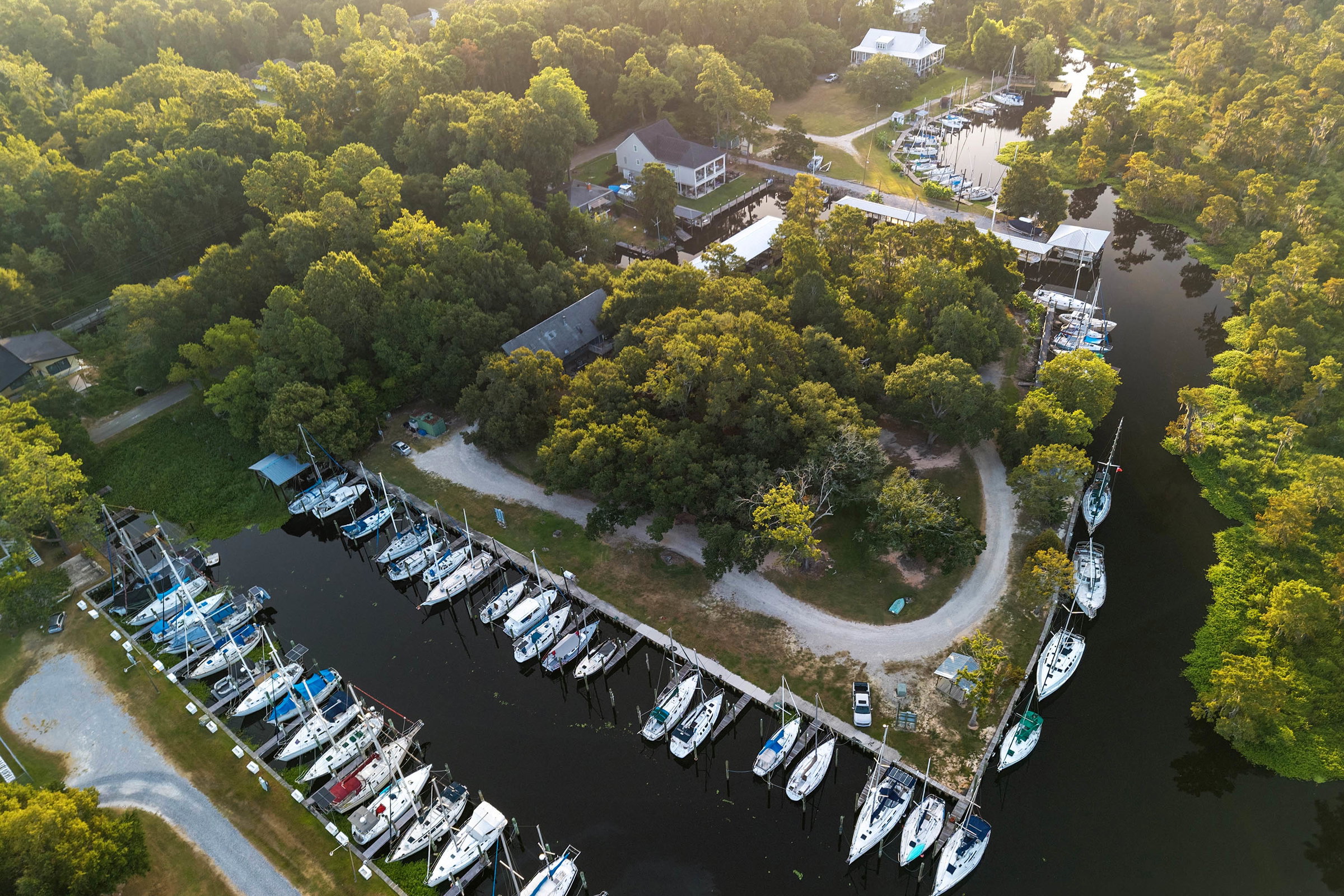
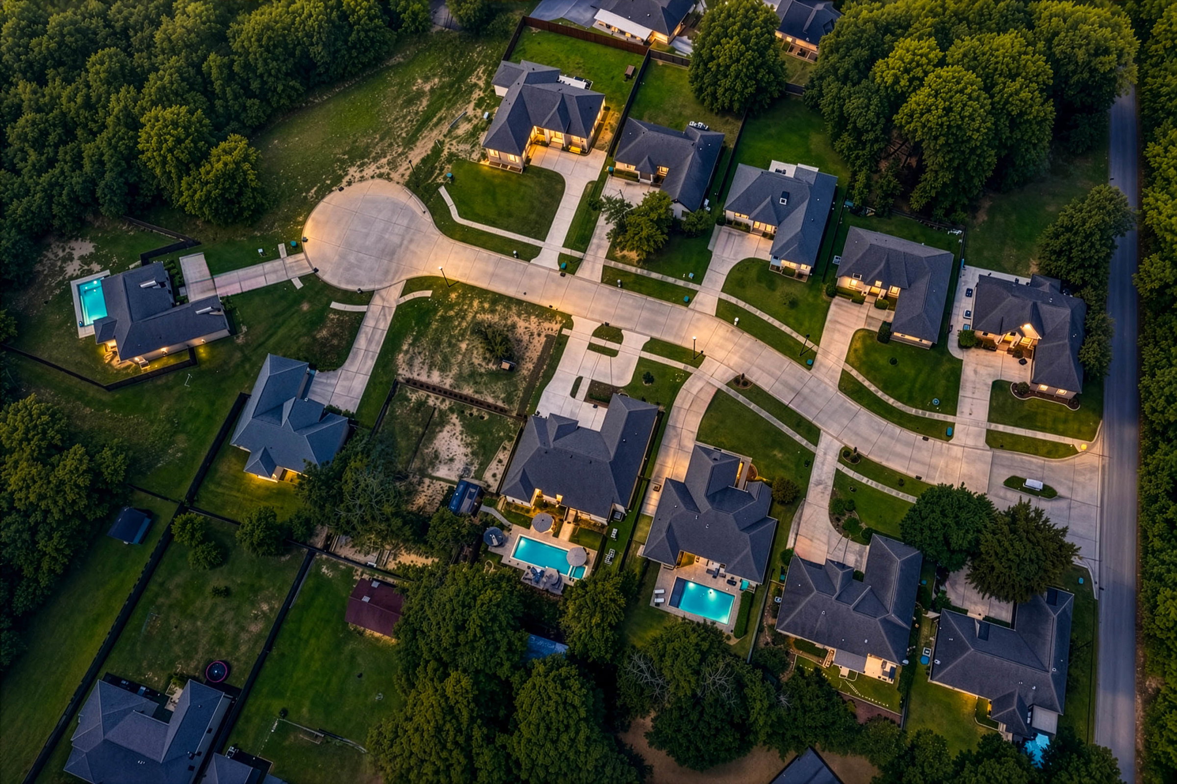
Aerial photography gives buyers a completely different perspective of the property and its surroundings. It can showcase waterfront access, large lots, pools, landscaping, nearby amenities, neighborhood location, and other features that are difficult to capture from the ground.
Can you photograph waterfront properties?
Absolutely. Drone photography is especially valuable for waterfront properties because it can clearly show the water frontage, dock, boat access, views, and relationship between the property and surrounding waterways.
How long does a typical drone shoot take?
Most real estate drone sessions are relatively quick, typically taking 30 to 45 minutes, depending on the property, requested shots, and flight conditions.
Can you show the property boundaries?
Yes. Enhanced aerial images can include property lines, the home location, and nearby Points of Interest (POIs) to help buyers understand the property's location and surroundings.
Do you offer drone photography for commercial properties?
Yes! Drone photography isn't just for residential real estate. We also provide professional aerial photography for commercial properties, businesses, land, developments, construction projects, hotels, and other commercial applications.
What weather conditions are required?
Safe flying conditions are essential. Strong winds, rain, thunderstorms, poor visibility, or other unsafe conditions may require the drone shoot to be postponed.
What happens if the weather is bad?
Safety comes first. If conditions aren't suitable for flight, the drone portion can be rescheduled for the next safe opportunity.
Do I need to be present for the drone shoot?
No. In most cases, you don't need to be present as long as I have access to the property and the necessary permission to operate.
Can you fly anywhere?
Not always. Certain locations have airspace restrictions, airports, temporary flight restrictions, or other limitations. We check the airspace before each flight and obtain any required authorization.
Why hire a licensed drone pilot instead of taking aerial photos myself?
If you're using a drone for commercial purposes, including marketing a property for sale, the flight must be conducted by an FAA Part 107-certified Remote Pilot. Operating commercially without the proper certification is illegal and can result in significant FAA fines and penalties.
Professional real estate drone photography combines FAA-compliant operation, proper flight planning, professional equipment, expert composition, and professional editing to produce marketing images designed specifically for real estate.
Can you fly anywhere?
Not always. Certain locations have airspace restrictions, airports, temporary flight restrictions, or other limitations. I check the airspace before each flight and obtain any required authorization.
Hiring an FAA Part 107 Certified Drone Pilot Matters.
Flying a drone safely requires far more than simply knowing how to operate the controls. FAA-certified Remote Pilots are tested on airspace regulations, weather, aeronautical decision-making, emergency procedures, airport operations, and federal aviation rules designed to protect people and other aircraft.
The consequences of an illegal or unsafe flight can be severe, including accidents, property damage, injuries, FAA enforcement actions, and significant civil penalties. In extreme cases, unsafe drone operations can interfere with manned aircraft or emergency response operations, creating potentially disastrous situations.
A certified pilot will know how to handle and
conduct proper pre-flight risk assessments and emergency procedures and:
Identify Temporary Flight Restrictions (TFRs), NOTAMs, or other hazards.
TFRs, NOTAMs & Hazards: FAA-certified pilots check for temporary flight restrictions, airspace alerts, and safety notices before every flight. These can include emergency operations, airport activity, or other hazards that may make a drone flight unsafe or illegal.
Determine whether a property is located in controlled or restricted airspace.
Controlled & Restricted Airspace: FAA-certified pilots verify the airspace around every property before flying. Some locations require special authorization or have restrictions to prevent interference with airports, aircraft, and sensitive operations.
Obtain FAA LAANC authorization before flying in controlled airspace when required.
FAA LAANC Authorization: When required, certified drone pilots must obtain FAA approval before flying in controlled airspace. LAANC helps ensure drones operate safely around airports and other airspace users.
Operate safely around people, vehicles, buildings, and other aircrafts.
Safe Operations: Certified drone pilots understand how to manage risks and operate safely around people, vehicles, structures, and other aircraft while following FAA safety regulations.
Residential and commercial aerial Imaging, aerial inspections, aerial marketing, drone marketing and photography.
The FAA determines whether a flight requires Part 107 based on the purpose of the operation, not whether money changes hands. If the flight is conducted in furtherance of a business, organization, or any non-recreational purpose, the pilot must hold a valid FAA Part 107 Remote Pilot Certificate.
FAA CERTIFICATE NUMBER: 005345929
Let’s Capture Your Next Listing!
Let’s connect and bring your next listing to life. Reach out for bookings, questions, or to chat about how we can help your property stand out. We’re here to make every space shine.

Showcase your Property’s
True Potential.
Copyright © 2026 pompo.media All rights reserved.